
Boat care on the water in North Miami Beach
North Miami Beach's boating water runs through Maule Lake, tucked into a basin off Biscayne Bay and connected to the Oleta River, plus Snake Creek Canal, a separate inland waterway that also runs through the city. No marina or public ramp is confirmed to sit inside North Miami Beach's own city limits, boats here reach Biscayne Bay and the Atlantic through Maule Lake and the Oleta River.
Oleta River State Park, at 3400 NE 163rd St in North Miami Beach, is Florida's largest urban park at 1,043 acres, with boat and kayak launches, mangrove tunnels, and a paddling route north into Maule Lake and back through the Intracoastal. It's not a marina, but it's the one government-run water access point clearly inside North Miami Beach's own limits, which the city's nearby commercial marinas aren't.
Eastern Shores, a gated North Miami Beach neighborhood on a peninsula bounded by Maule Lake, the Intracoastal and Dumbfoundling Bay, is laced with man-made canals, all but one stretch, a natural canal on the north side of NE 171st Street. Snake Creek Canal, a separate waterway also called the Royal Glades Canal, runs through the city as a second inland route that doesn't touch Maule Lake at all.
- Maule Lake
- the Oleta River
- Snake Creek Canal
- Biscayne Bay
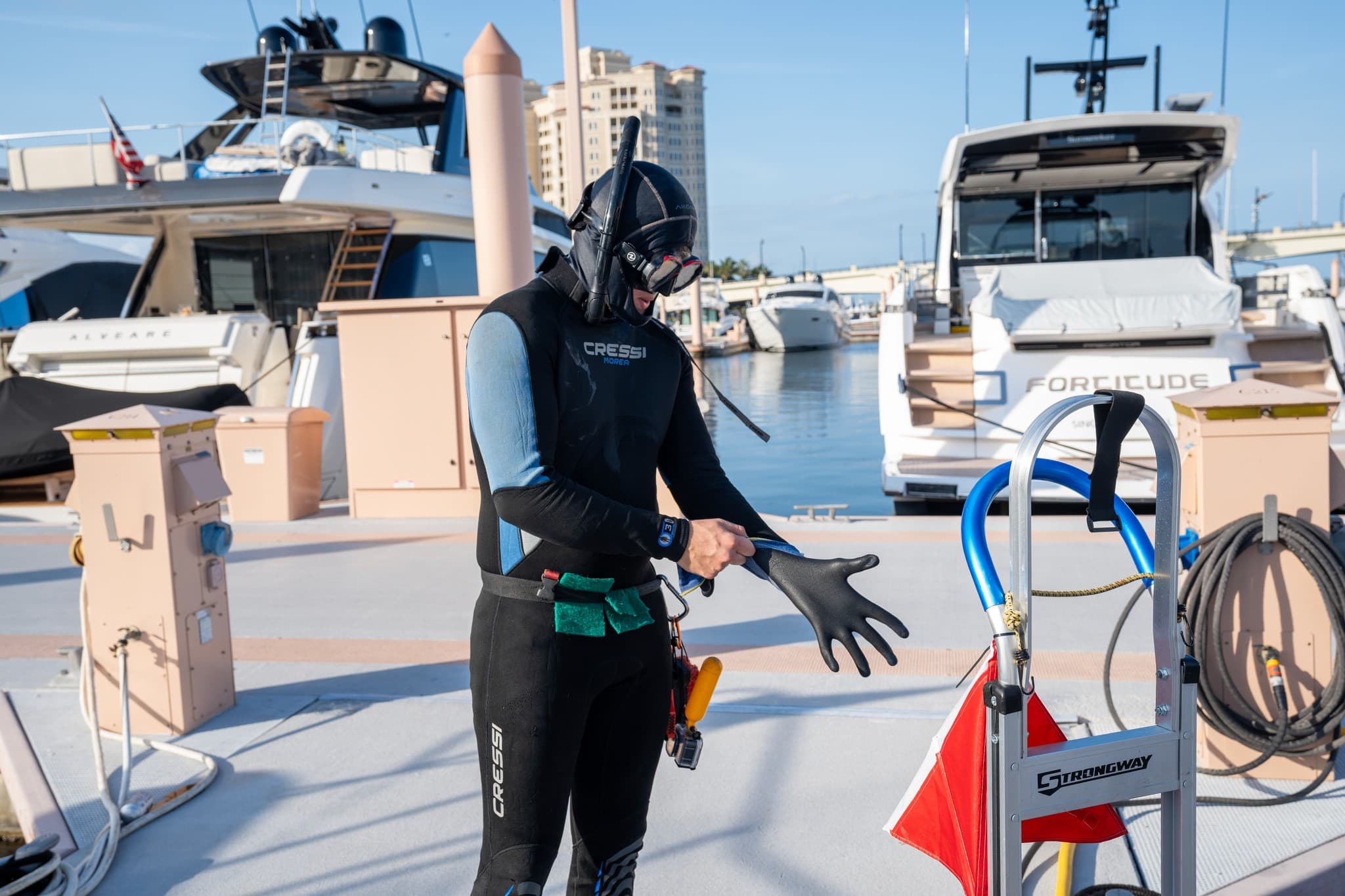
Dive services for North Miami Beach boats
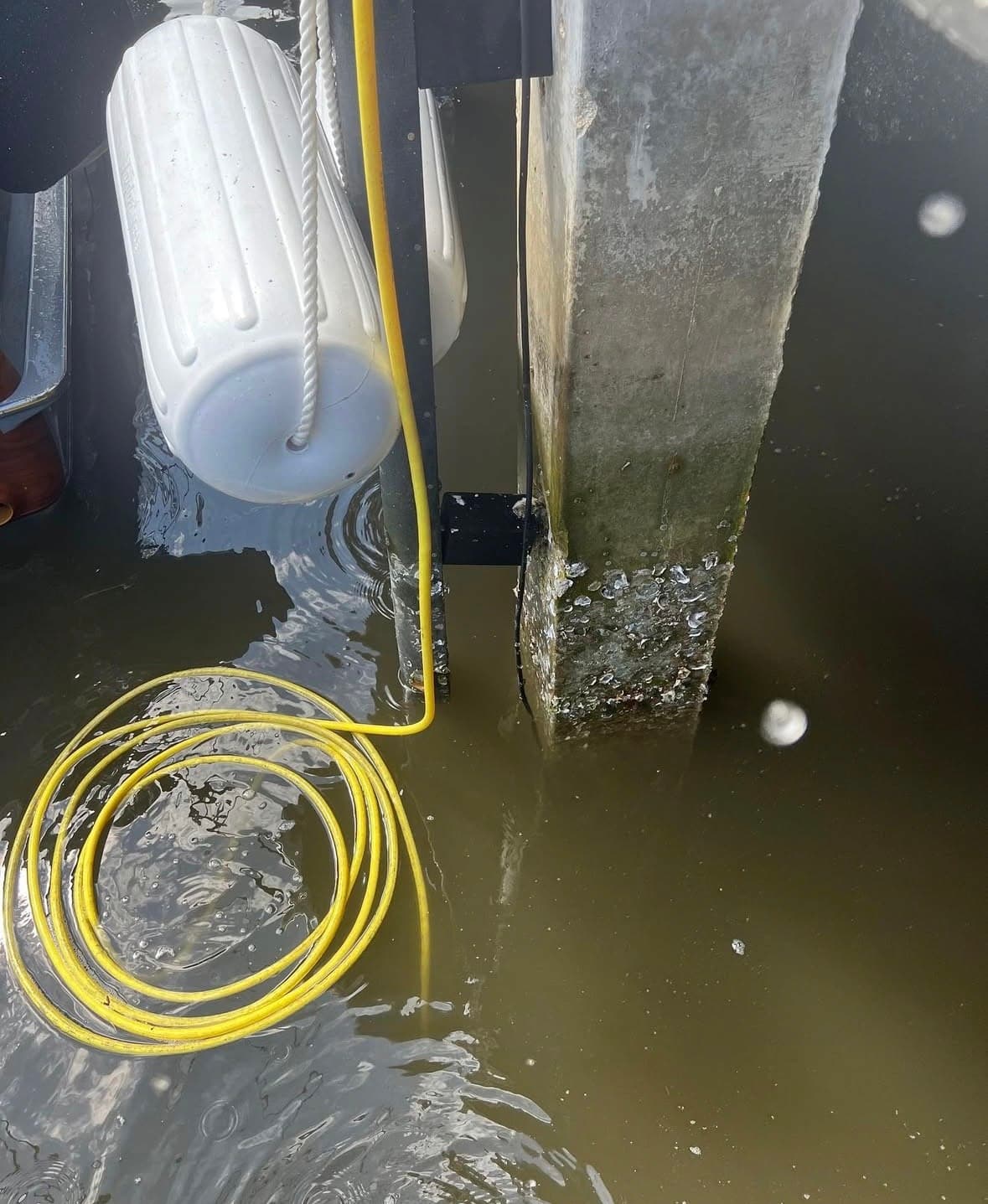
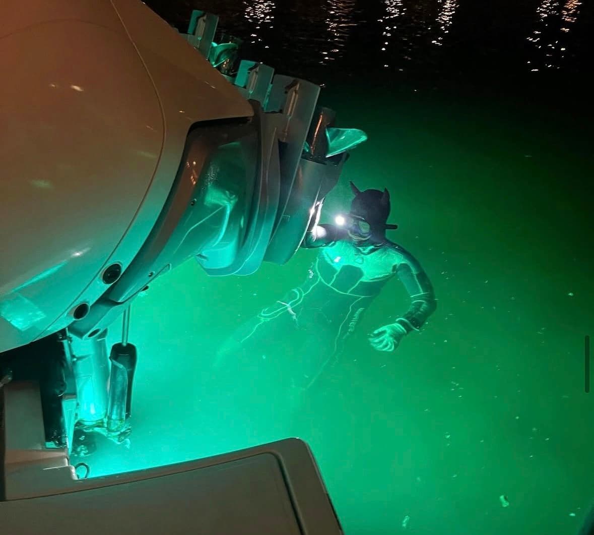
Marinas and docks around North Miami Beach
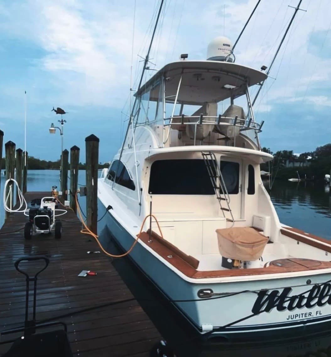
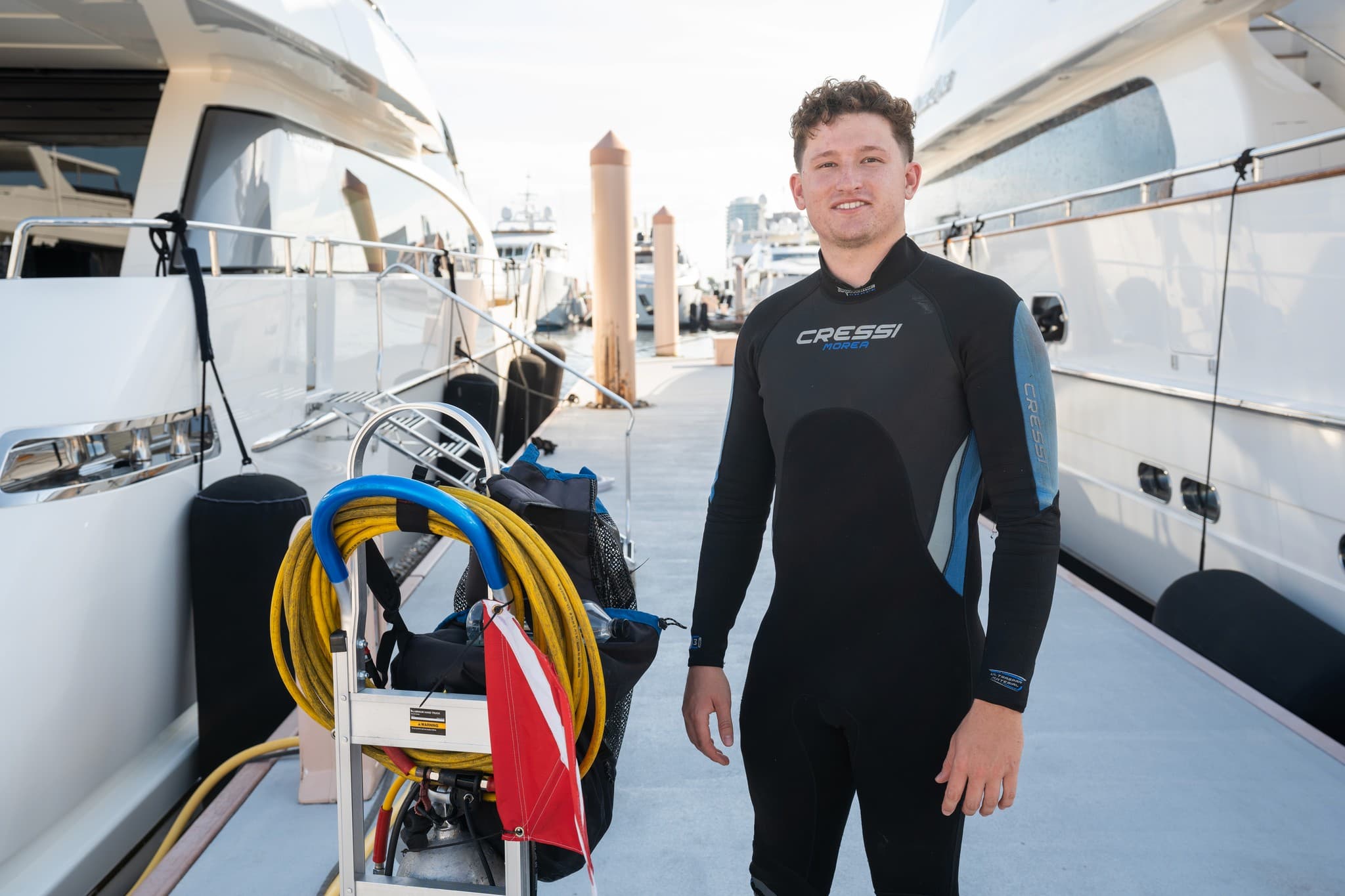
We come to the boat in North Miami Beach: dock, lift or slip.
North Miami Beach boats mainly sit on Maule Lake and the Oleta River and Snake Creek Canal and Biscayne Bay. Maule Lake sits in a basin off Biscayne Bay, reached via the Oleta River.
The visit, step by step
- 01
Free inspection
We look first and tell you straight what we found.
- 02
Hull schedule
Every 2-3 weeks in summer, 3-4 in winter. It depends on the boat.
- 03
Zincs
Swapped at about half their life, with a zinc report.
- 04
Props
Pulled by our divers; repairs go to F&J.
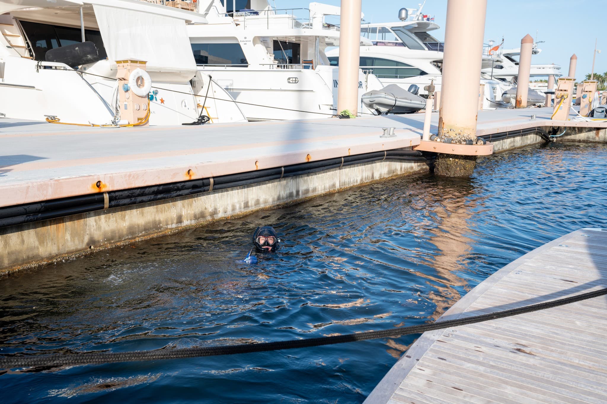
North Miami Beach questions
How does a North Miami Beach boat reach Biscayne Bay?
Through Maule Lake and the Oleta River, or via Snake Creek Canal, the two inland waterways that run through the city.
Is there a public water access point inside North Miami Beach?
Yes. Oleta River State Park, 3400 NE 163rd St, is Florida's largest urban park and has boat and kayak launches, though it's a state park, not a marina.